Radar layer for
autonomous drone detection.
AISAR is an AI-native radar mesh for drone detection and airspace monitoring. Passive and active sensors, unified by a single fusion layer, hold one 3D track on a drone as it approaches — through the close-in zone where most systems stop. The passive layer transmits nothing and needs no spectrum authorisation. It runs without a radar operator.
The regulation lands in 2027.
Less than 5% of European critical infrastructure is covered.
Airport shutdowns. Energy facility overflights. Unauthorised flights near borders. The EU CER Directive mandates detection across 11 critical infrastructure sectors.
One platform. Four operating points. One track.
Four sensor layers share the same signal-processing pipeline, the same tracker, the same classification models and the same digital twin. Only the band, the antenna and the RF front end change. That is why a drone moving out of one layer's coverage and into the next stays a single track instead of becoming a new detection.
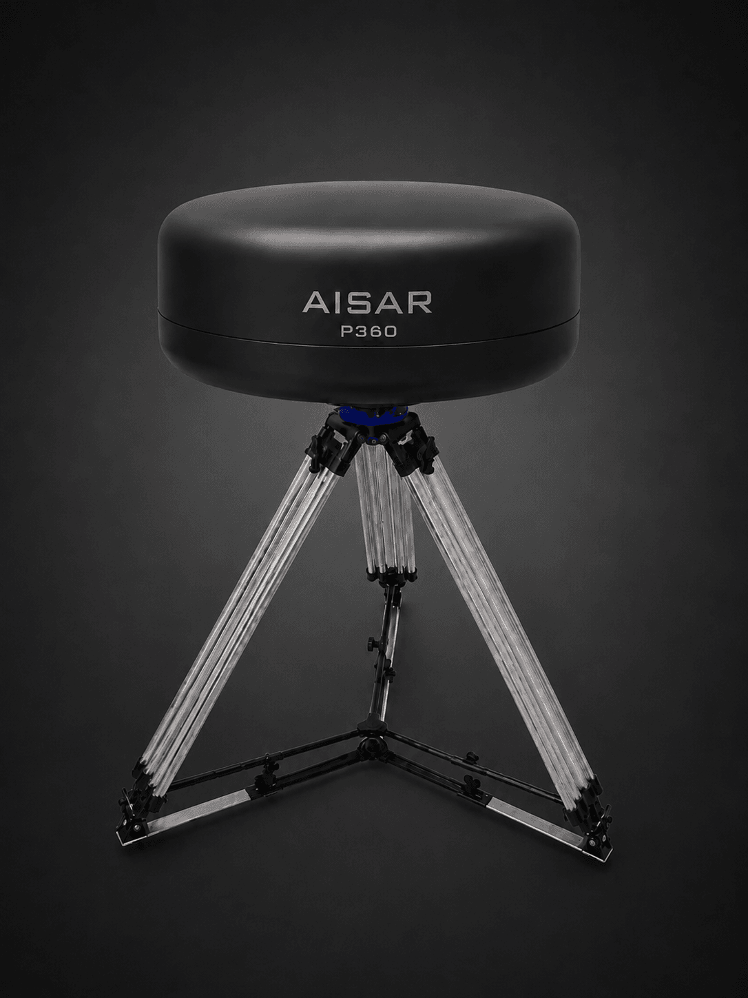
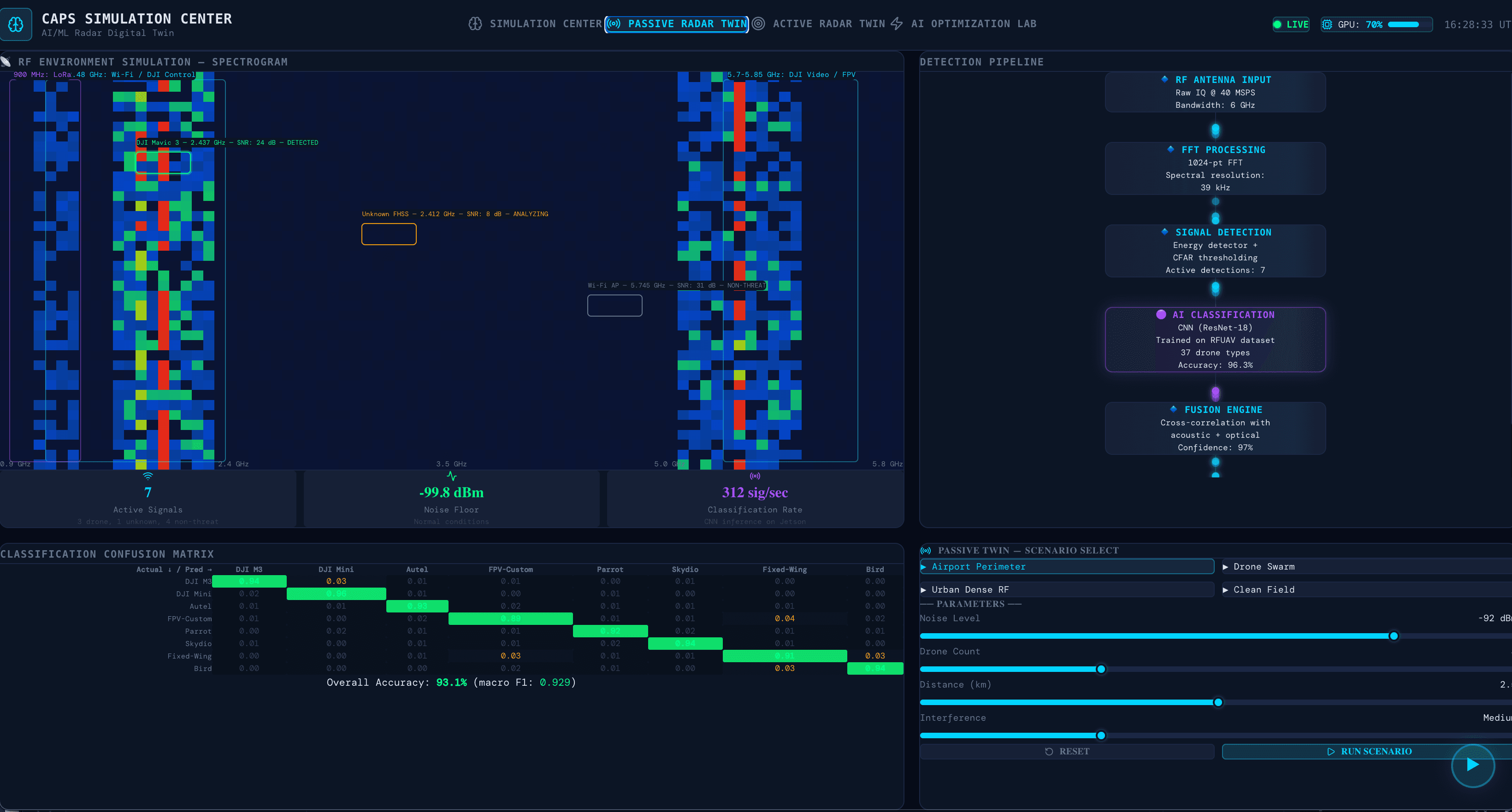
Listens to the electromagnetic spectrum without transmitting. Detects, classifies and locates drone control links, video downlink and telemetry. 37 drone classes identified from RF fingerprints, classified on the node.
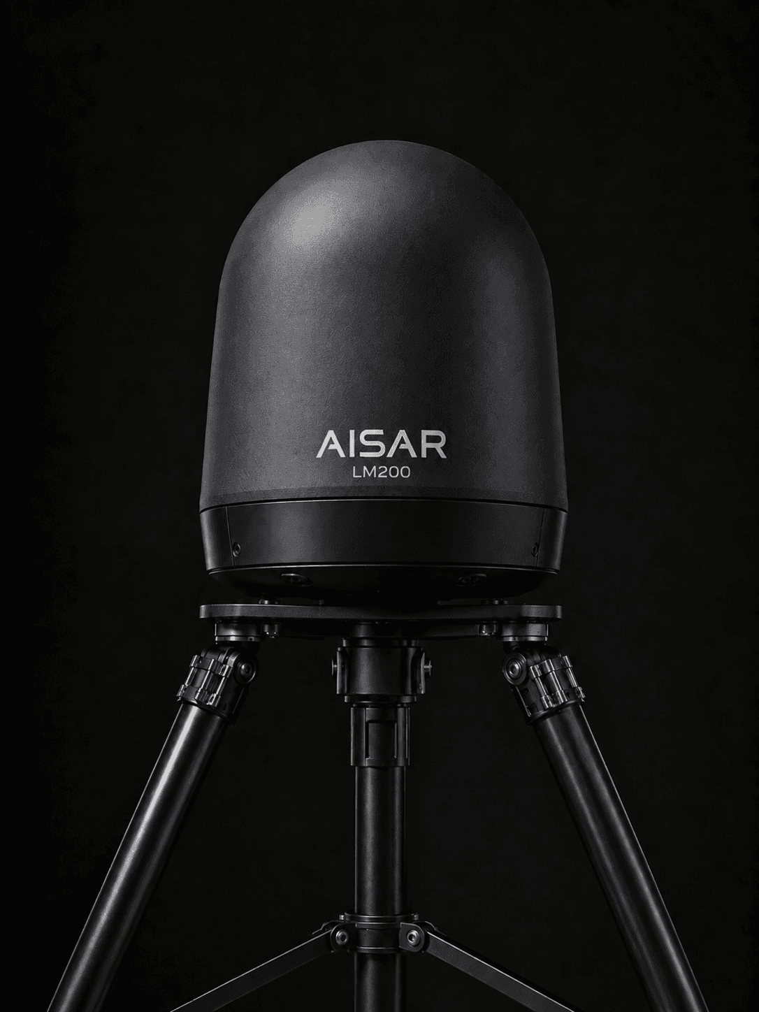
Covers the close-in zone that surveillance radar does not reach. Millimetre-wave resolution at the fence line, on a volume automotive component base — so a site installs several units around a perimeter instead of one expensive post.
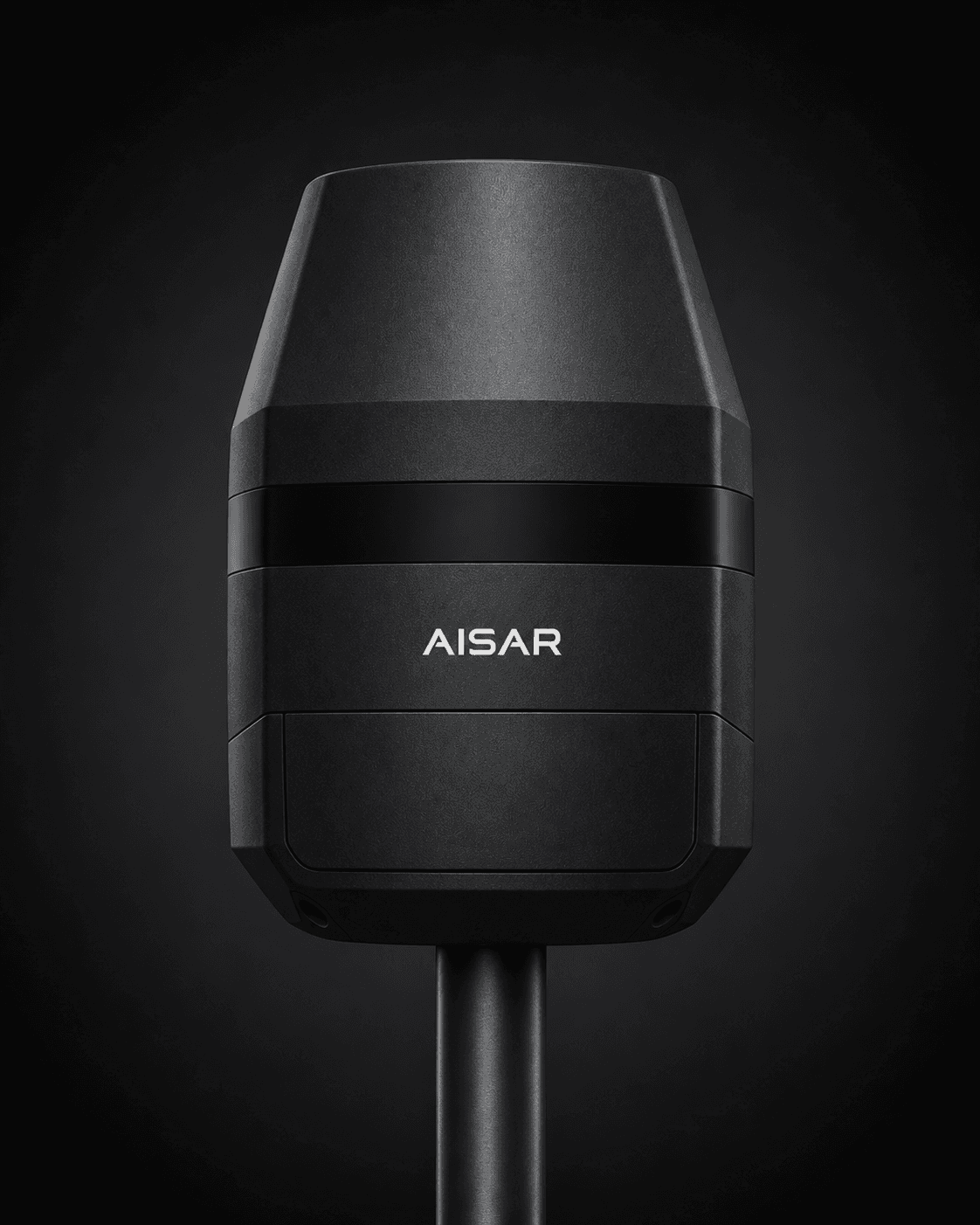
Digital beamforming radar for tracking and hand-off inside the site perimeter. Holds low-RCS targets through the working envelope of the protected area.
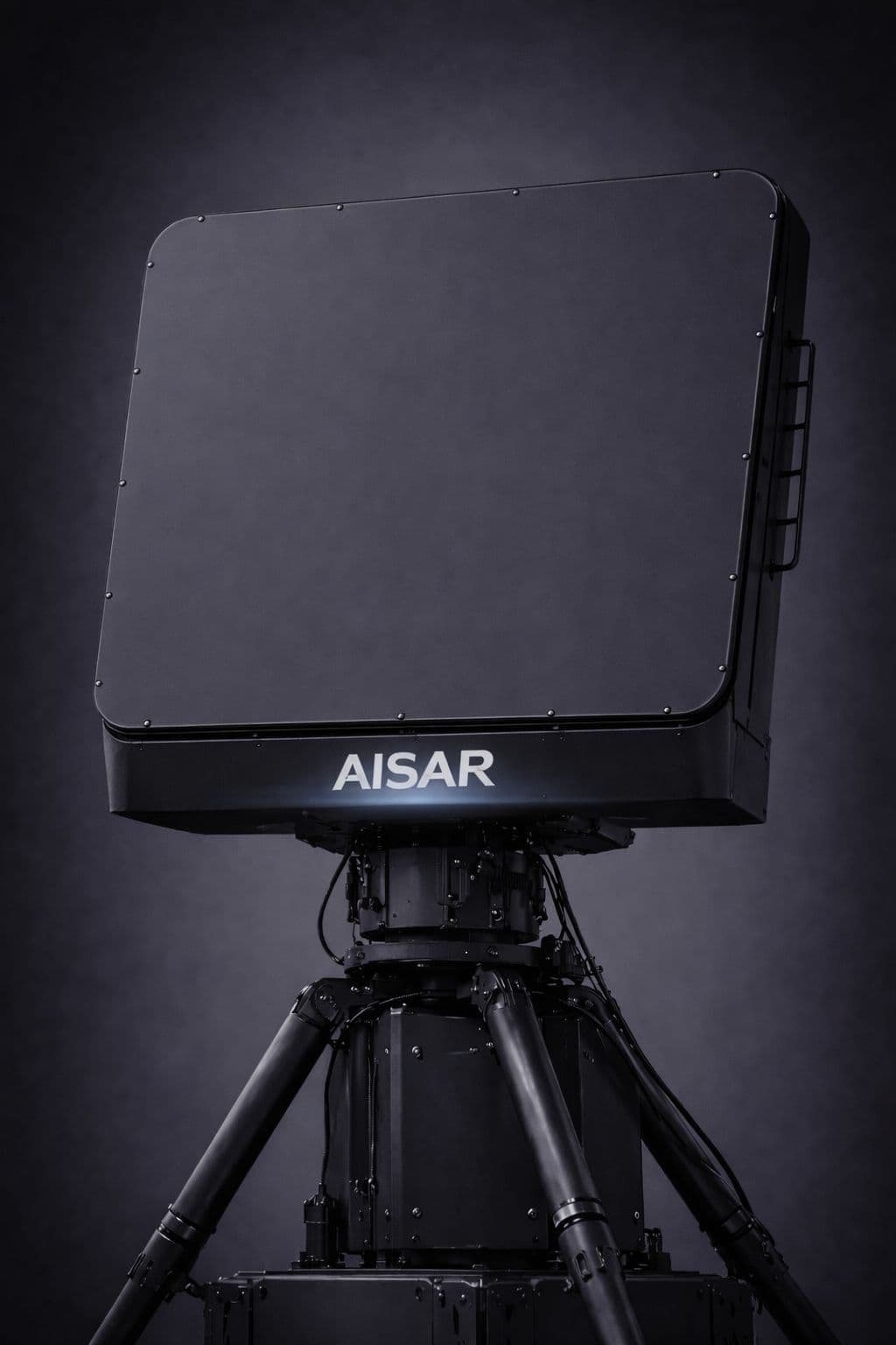
Wide-area early warning for large sites, coastlines and border sections. Establishes the track before the target reaches the perimeter.
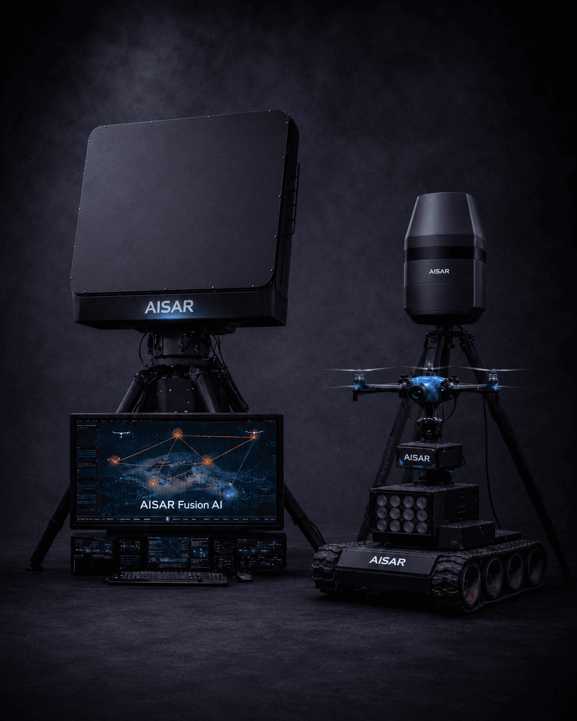
3 to 25+ nodes, self-organising and self-healing, GPS-PPS synchronised. TDOA/FDOA geolocation to meter class. The layer that makes four sensors behave as one system.
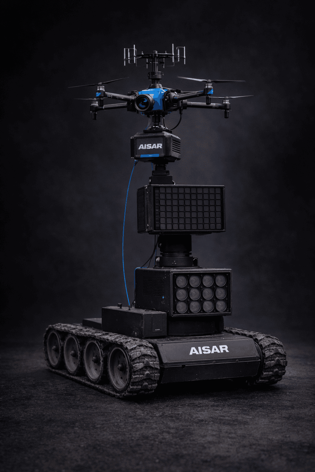
Ground platform carrying the sensor set with acoustic and optical channels and a tethered aerial node at 150 m. Operational in under 15 minutes, edge compute on site, no cloud dependency.
Separate sensors, or one system?
A drone approaching a site crosses several sensing regimes: wide-area early warning, mid-range tracking inside the perimeter, and the close-in zone at the fence line. The common answer is to buy a different system for each and stitch them together at the track level — which is exactly where hand-offs are lost and a target is re-acquired as a new, unknown object.
AISAR does not stitch. One signal-processing pipeline, one tracker, one classification layer and one digital twin run across every band in the line. The target does not become a new detection when it moves from one layer to the next. And it is one supplier, not three contracts and three integration projects.
Transmit as little as the task allows.
The passive layer transmits nothing at all. The active layers transmit only what the task requires — the close-in layer is designed so that nothing is detectable more than a few hundred metres from the object it protects. For a plant, a port or an airport that means no spectrum authorisation for the passive layer, a defined and bounded authorisation path for the active ones, and no interference with the equipment already on site: ATC primary surveillance, plant telemetry, SCADA.
| SPECTRUM AUTHORISATION | PASSIVE MESH | SHORT-RANGE | MID-RANGE | LONG-RANGE |
|---|---|---|---|---|
| EU | Not required — reception only | Harmonised band (mobile configuration) | Individual licence | State assignment |
| United States | Not required — reception only | Licensed by rule (mobile configuration) | Individual licence | State assignment |
| Asia | Not required — reception only | National authorisation | Individual licence | State assignment |
Technical specifications depend on configuration, deployment geometry and site conditions, and are confirmed per project.
Spectrum authorisation is separate from export-control classification. Export-control status is determined by the specific configuration, its technical parameters, the country of destination and the end use.
From deployment to situational picture in minutes.
Place the nodes at the perimeter. Each unit is self-contained: antenna array, edge compute, rugged enclosure, GPS/PPS synchronisation, mesh radio. No infrastructure required. Power on and the mesh auto-configures.
Nodes scan the RF spectrum continuously across the commercial drone bands while the active layers sweep their assigned sectors. The Spectrum Environment Monitor builds a baseline of the local electromagnetic environment, then flags what does not belong.
Detections are classified in real time by a three-level neural network: is it a drone, what class of transmitter, what specific model. 37 drone classes identified from RF fingerprint alone, on the node, with no cloud round trip.
Nodes correlate time and frequency of arrival to establish position, heading, speed and altitude. The track is held continuously as the target crosses from one sensing layer into the next.
Tracks are published to the systems the site already runs — security management, monitoring, geoinformation and air-traffic systems — over open interfaces (ASTERIX CAT-062, GeoJSON, REST). The operator or the site's security service decides what happens next.
The mesh deploys itself, learns the electromagnetic environment of the site, then detects, classifies and tracks without a radar operator, without a cloud connection and without anyone watching a screen. Site security is notified when something matters — not asked to look for it.
Power on and the mesh discovers itself and synchronises.
The baseline adapts as the site changes, without recalibration.
A node lost is a node routed around, not an outage.
AISAR Fusion Dashboard. One screen, every sensor.
A real-time interface for the whole mesh. Every detection, every node, every signal, with CER Directive compliance reporting built in.
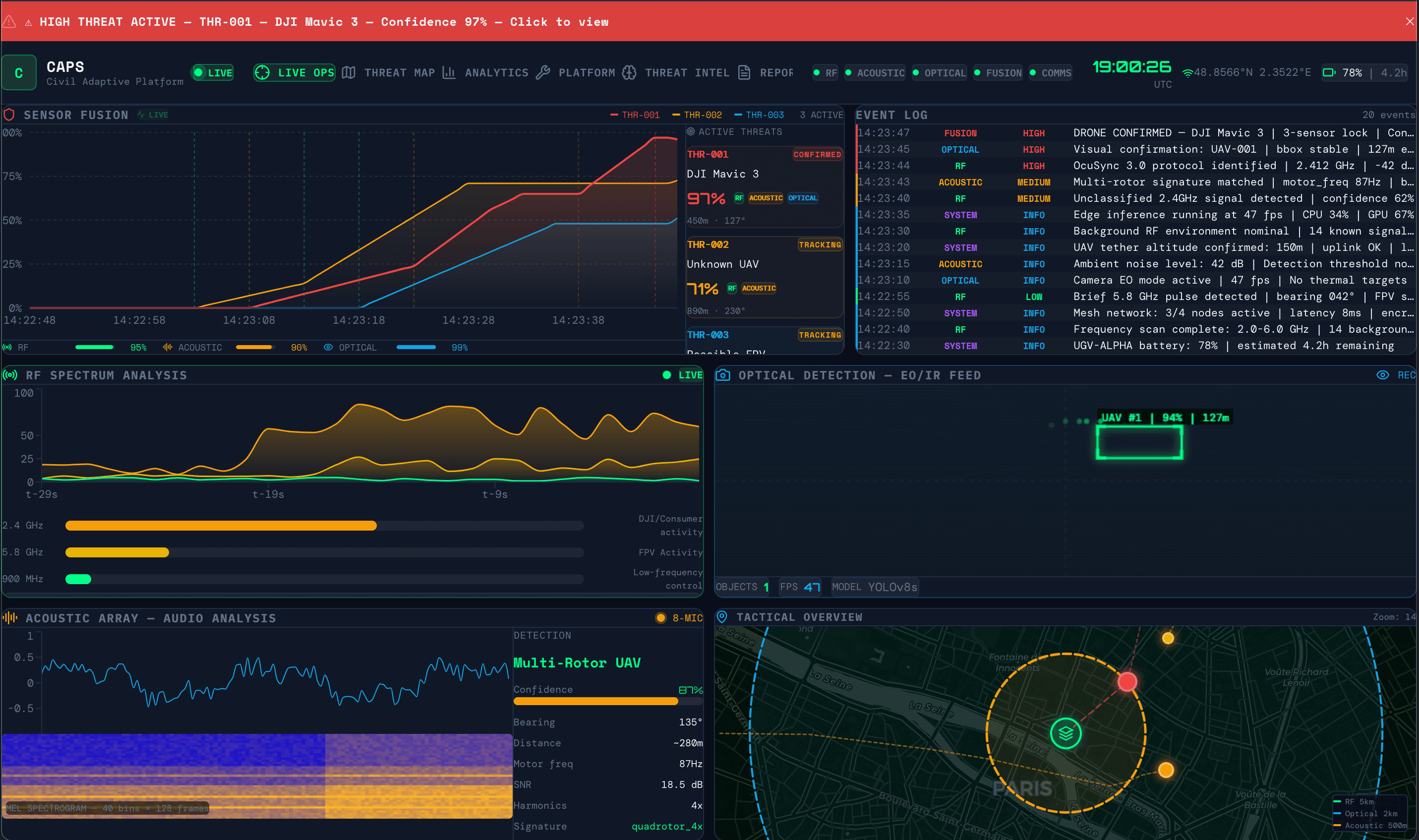
Priority levels are configurable classification and alerting states. The dashboard does not task, cue or control any external device.
Built faster than a radar company should be able to build.
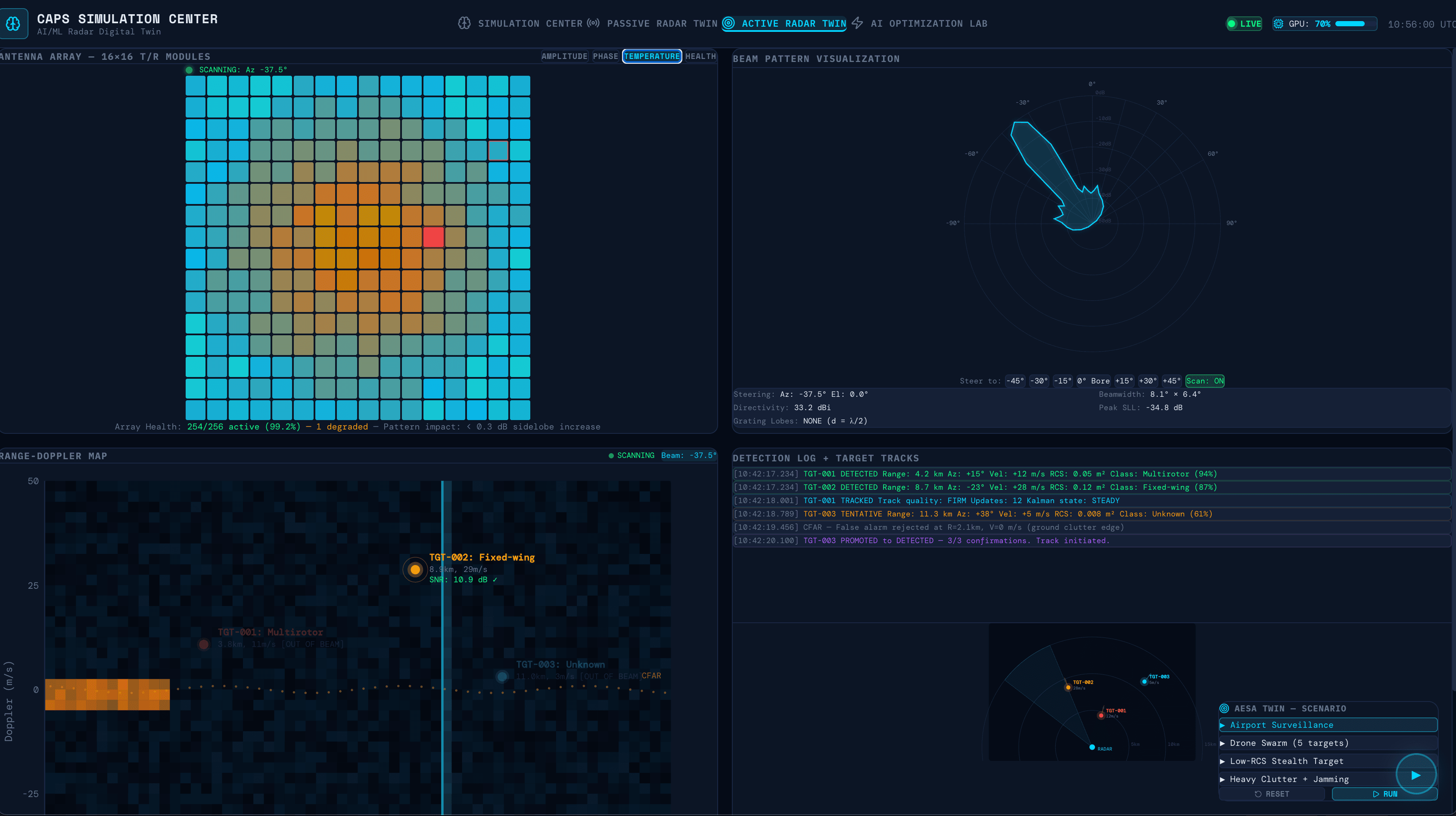
Every AISAR sensor is designed, simulated and optimised in software before a component is ordered. That is why one team covers four bands.
Protecting what matters.
Critical Infrastructure
Energy grids, substations, water systems, dams, LNG terminals, telecommunications. Passive architecture where active emission is restricted or EMC compatibility is required. CER Directive compliance reporting built in.
Aviation
EU airports above 1M passengers under the EASA detection mandate. Passive detection avoids interference with ATC and primary surveillance radar; the close-in layer covers approach paths and the terminal perimeter.
Border & Maritime
Drone-based smuggling — narcotics, contraband, irregular migration support — is now a primary operational concern across the southern and eastern EU perimeter. The mesh scales along long linear borders and coastlines.
Ports, Terminals & Industrial Sites
Close-in coverage at the fence line with no interference with plant systems. Distributed nodes rather than a single post, so coverage survives the loss of any one unit.
Law Enforcement & Events
Public events, government buildings, protection zones. Mobile CAPS units deploy in under 15 minutes. Edge-only, no cloud exposure.
Security & System Integrators
Integrate AISAR as the sensing layer in a multi-sensor airspace monitoring architecture. Open interfaces, modular, software-defined. We supply the layer; you own the customer.
Validated in Ukraine.
Engineered in the EU, Spain.
Our team developed the detection algorithms in the EU and validated them in Ukraine — the most drone-dense airspace in the world. The models are trained on real-world operational RF recordings gathered across the full range of interference conditions, not laboratory captures.
The platform is engineered and manufactured in the EU, Spain, with technology partnerships across the European industrial ecosystem, built on a European supply chain.
From pilot to full coverage.
Single-site coverage, approximately 5 km². Includes the Fusion Dashboard, deployment support and 90 days of model tuning on your local RF environment. Deployed in one day.
Full-site perimeter coverage, 15–25 km². Triangulation-grade geolocation, redundant self-healing topology. Suitable for airports, energy sites and border sectors.
Multi-site deployment with centralised management across distributed locations. API integration with existing security infrastructure, dedicated account engineering, custom model training on site-specific RF environments.
See AISAR in action.
Whether you are protecting an airport, securing critical infrastructure, or integrating a sensing layer into a larger system — let us talk.